Drones and 3D imaging could help farmers measure crop height
- Like
- Digg
- Del
- Tumblr
- VKontakte
- Buffer
- Love This
- Odnoklassniki
- Meneame
- Blogger
- Amazon
- Yahoo Mail
- Gmail
- AOL
- Newsvine
- HackerNews
- Evernote
- MySpace
- Mail.ru
- Viadeo
- Line
- Comments
- Yummly
- SMS
- Viber
- Telegram
- Subscribe
- Skype
- Facebook Messenger
- Kakao
- LiveJournal
- Yammer
- Edgar
- Fintel
- Mix
- Instapaper
- Copy Link
Posted: 24 October 2017 | George Smith (New Food) | No comments yet
Researchers in the USA have found a way to replace intensive manual measurement with 3D imaging captured by drones.
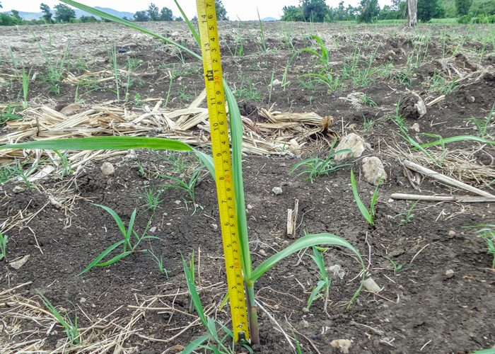
GROWING UP: Manual systems of measuring crop height can be time consuming
Dr Lonesome Malambo, Postdoctoral Research Associate in the Texas A&M University Ecosystem Science and Management Department in College Station conducted a study into the technology with a multidisciplinary research team.
Though drones, or unmanned aerial systems (UAS), have been tested before, Dr Malambo set out see whether structure from motion (SfM) techniques could be used in collaboration with the tiny aircraft to accurately gather crop height data.
For the study the team collected high resolution images across 12 dates from April, when the crops were planted, to July, harvest. They used the images to compare ground surfaces and crop canopies, metrics used in crop height estimation.
Dr Malambo said: “Once we recreate the scene, it looks the way it did when we captured it, multidimensional.
“In this study, we were interested in observing the whole growing cycle of these crops. We flew over the crops on 12 different dates and at the same time had people measure the growth on the ground on six of the dates.”
On two of the dates, for the field measurements, a terrestrial laser scanning sensor, also known as lidar, was used to collect reference data for the plant canopy height.
Another member of the team, Dr. Sorin Popescu, said: “This is another unique aspect of our study. To my knowledge, no other published study compared SfM point cloud measurements to lidar scanning, but only to manual field measurements of plant heights.
“The terrestrial lidar provides the most accurate measurements of the canopy, resulting in a point cloud of direct 3-D measurements.”
He said SfM provides reconstructed 3-D point clouds through photogrammetric methods, whereas lidar provides direct measurements using laser scanning. The terrestrial lidar sensor, or TLS, has a limited coverage and must be placed on tall vehicles to view the canopy from above.
“It is really not practical to use the TLS for plant height measurements, mostly only for validation studies like ours,” Popescu said. “Lidar can be placed on a UAV, but those sensors are very expensive. We are currently assembling one UAV lidar sensor and will have it operational by the end of this year.”
Malambo said physical measurements were taken from May through July, while flight photos were taken from April through August.
“We got a very good correlation from the measurements in the field and the images we were able to produce. There is great potential to reduce the time and cost of collecting data with affordable technology that can be used by farmers and researchers.”
Related topics
Equipment, Food Security, Robotics & automation, Technology & Innovation
Related organisations
Texas A&M University Ecosystem Science and Management Department